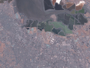
Chris Pirillo reports on the free satellite imaging program from NASA that has so many options built into the program that you can literally play with it for hours. World Wind is described best on the web site:World Wind lets you zoom from satellite altitude into any place on Earth everaging Landsat satellite imagery and Shuttle Radar Topography Mission data, World Wind lets you experience Earth terrain in visually rich 3D, just as if you were really there.
Virtually visit any place in the world. Look across the Andes, into the Grand Canyon, over the Alps, or along the African Sahara.
The program is huge (180 MB) but it is simply awesome if you love this sort of thing as I do.
Originally posted by jk from jkOnTheRun